ST. GEORGE — The National Weather Service in Salt Lake City has issued a hazardous weather outlook for the next seven days starting Sunday that includes a mix of elevated river and stream levels, snow and a hard freeze warning at various times and locations throughout the state.

Affected area
Regionally affected areas include southwest Utah, Utah’s Dixie and Zion National Park, south-central Utah, Glen Canyon Recreation Area-Lake Powell and southern mountains.
Other portions of the state affected include Cache Valley, northern Wasatch Front, Salt Lake and Tooele valleys, southern Wasatch Front, Great Salt Lake Desert and mountains, Wasatch Mountain valleys, Wasatch Mountains near Interstate 80 North, Wasatch Mountains south of I-80, western Uinta Mountains, Wasatch Plateau-Book Cliffs, Western Uinta Basin, Castle Country, San Rafael Swell, Sanpete-Sevier valleys, west-central Utah, central mountains and southwest Wyoming.
Timeline
Area streams and rivers will remain high and fast due to snowmelt through Saturday. The National Weather Service advises keeping children and pets away from this hazard.
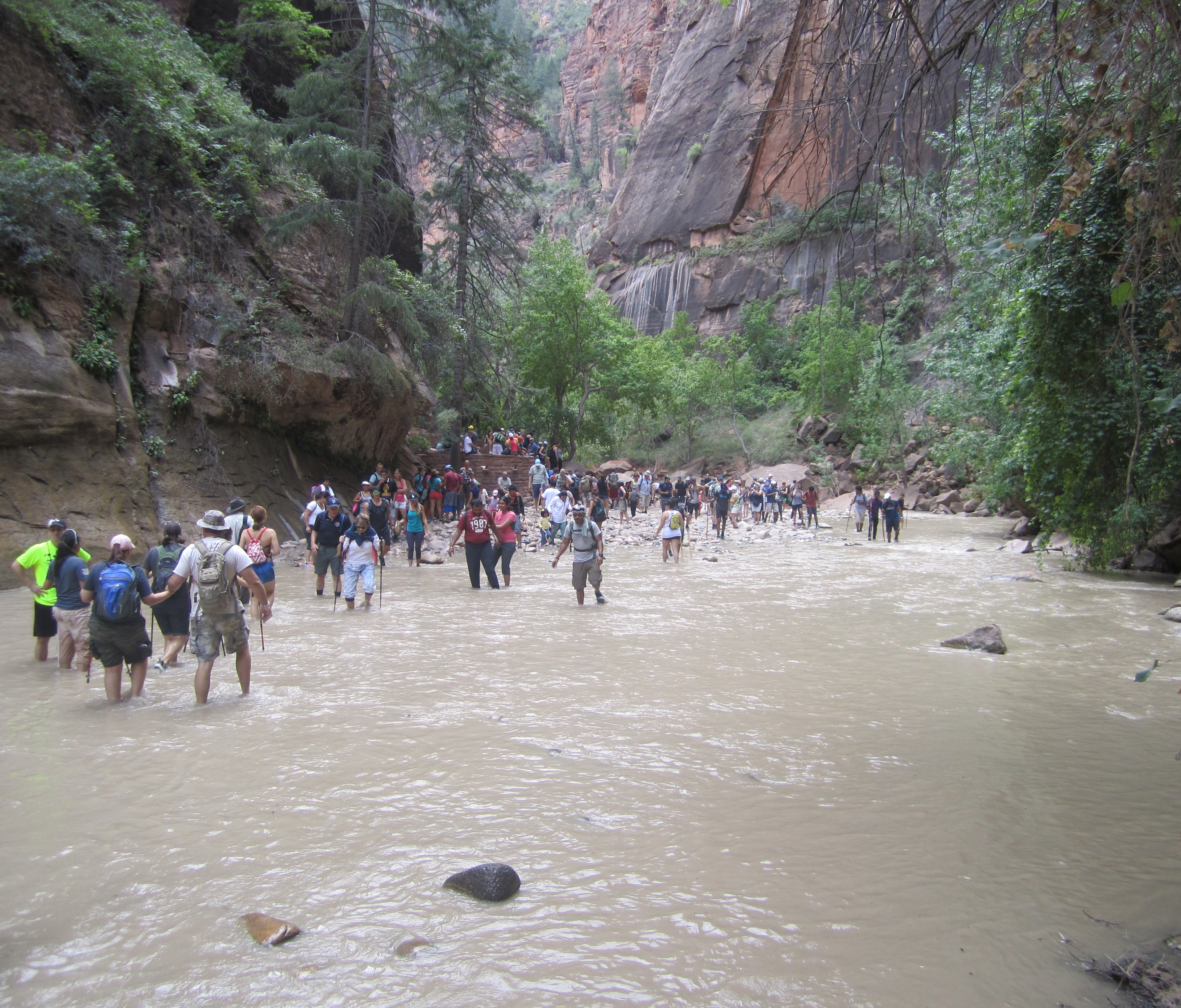
The spring snowmelt has already affected waterways in Southern Utah, including the closure of the popular Zion Narrows trail in Zion National Park.
Significantly colder temperatures are expected across the area Wednesday into Thursday.
Snow is forecast to fall to valley floors across most of Utah Wednesday – excluding St. George – with accumulating snow expected above 5,500 feet. Significant snow accumulations are possible for the higher terrain of northern and central Utah with lesser amounts for the upper elevations of Southern Utah early Wednesday through at least Thursday.
Temperatures are expected to be cold Thursday morning following the snowfall with a hard freeze possible for the valleys of west central and southwest Utah as well as the Sanpete and Sevier Valleys.
Email: [email protected]
Twitter: @STGnews
Copyright St. George News, SaintGeorgeUtah.com LLC, 2017, all rights reserved.